
Places
Rangitoto, Motutapu & Motuihe: Auckland's Inner Gulf Islands by Boat
The three islands sitting closest to Auckland's harbour entrance — a six-hundred-year-old volcano, the green farm island behind it and the sandy isthmus beyond — and how to spend a day among them by private boat.
Rangitoto, Motutapu & Motuihe: Auckland's Inner Gulf Islands by Boat
Destination
Auckland
Category
Places
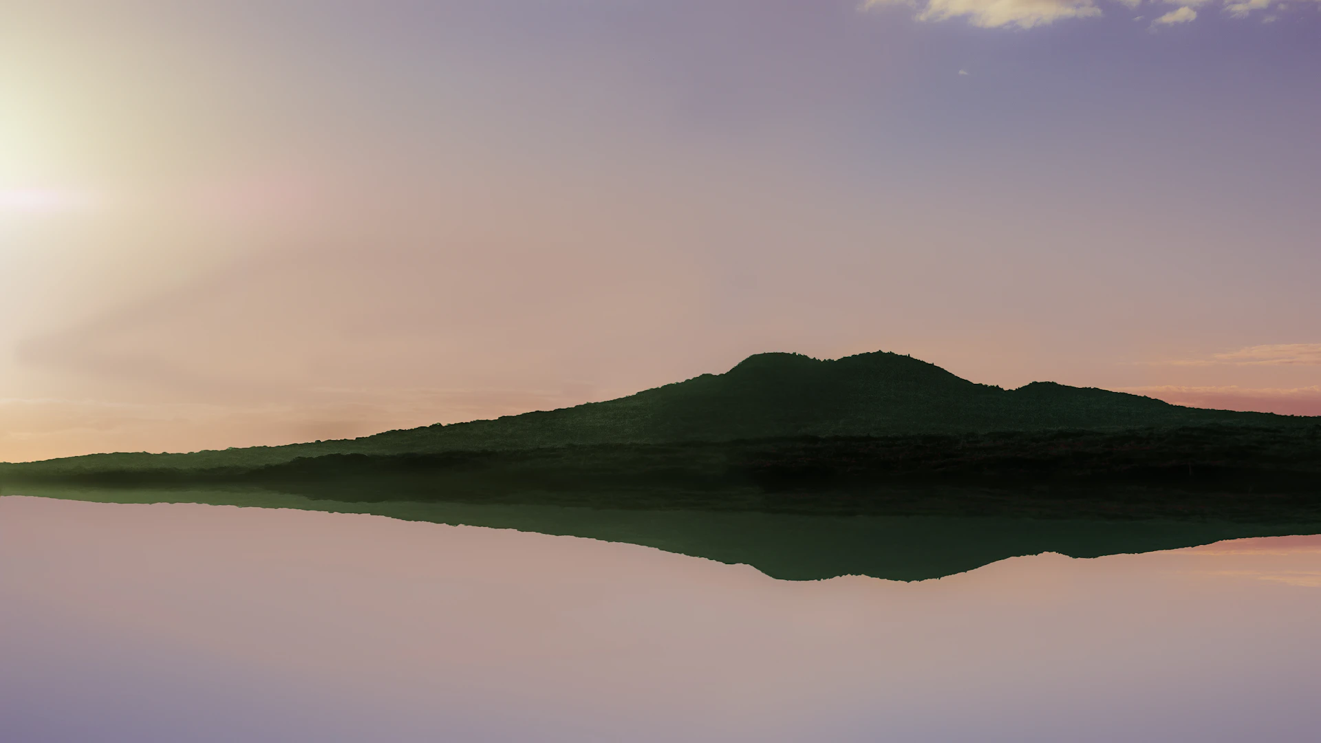
Auckland has a skyline that changes constantly and a horizon that never does. Towers go up, cranes move, the waterfront gets rebuilt every few years — and across the harbour, unbothered by any of it, sits the same low, symmetrical cone it has always been. Rangitoto is the shape every Aucklander draws without thinking, the thing you look at from the ferry, the bus, the office window. Most people never get closer than that.
Which is a shame, because Rangitoto is not alone out there. Behind it, joined by a causeway, lies a completely different island of green farmland. Beyond that sits a third, narrow enough to walk across, with a sandy beach on either side. Together the three of them form the inner Hauraki Gulf — the islands that begin the moment the Waitematā opens past North Head, close enough to the city that a private boat can reach them before the coffee goes cold.
This guide stays inside that near circle. For the vineyard island and the wider gulf, the Waiheke and Hauraki Gulf guide covers the longer run east.
Rangitoto: the newest thing in Auckland
Everything about Rangitoto is younger than it looks. It is the most recent volcano in the Auckland volcanic field, and it rose out of the sea roughly six hundred years ago — recently enough that the eruptions were witnessed by people living on the islands nearby, and recently enough that the island is still, in geological terms, brand new. That is why the cone is so perfect: nothing has had time to wear it down.
From the water, the surprise is the texture. The postcard silhouette resolves into something much rougher up close — black lava shorelines, fields of broken scoria, and forest growing straight out of the rock with no soil worth the name. Rangitoto carries what is widely described as the largest pōhutukawa forest in the world, and when those trees flower in the early summer the whole island goes red at the edges. Cruising slowly along the lava coast is one of the strange pleasures of Auckland boating: a raw, dark, geologically new landscape twenty minutes from a downtown wharf.
If you want to land, the walk up through the lava fields to the summit is the classic Auckland outing, roughly an hour from the shore, and it pays out with a view across the entire gulf and back over the city. It is hot, shadeless work in the middle of the day, so the sensible plan is early — walk in the cool, swim afterwards.
Motutapu: the old island behind the new one
Cross the causeway and the world changes completely. Motutapu sits directly behind Rangitoto and is its exact opposite in every way that matters. Where Rangitoto is raw volcanic rock a few centuries old, Motutapu is ancient — some of the oldest land in the Auckland region — and it looks it: soft rolling pasture, grazed hillsides, gentle bays. The two islands are physically connected and visually unrelated, which is the whole joke of the place. From the water you can see the exact line where black lava meets green farm.
Motutapu has a long human history to match. It was settled and gardened for centuries before the eruption, and the ash that fell on it preserved footprints in the ground beneath. Much later it took on a military role, and traces of the wartime defences are still scattered across the hills. Today it is looked after as a recreation reserve with a long-running restoration project reforesting the farmland.
Home Bay is the island's front door — a wide sheltered bay with a beach, a grassy flat behind it and a very easy feeling about the whole arrangement. It is a natural lunch-at-anchor stop.
Islington Bay: the anchorage locals actually use
Between the two islands, where the causeway meets the water, is Islington Bay — and this is the one to know. It is a deep, protected notch with the volcano on one side and the farm on the other, and it has been a favourite of Auckland boaties for as long as Aucklanders have owned boats. On a summer weekend there will be a scatter of masts in it; on a Tuesday you might have it more or less to yourselves.
What makes it useful is shelter. Because the bay is enclosed on both sides, there is almost always a calm corner in it regardless of what the wind is doing outside, which is why a good skipper will steer you here when the gulf is up. Swim off the back, eat on deck, and let the afternoon go slowly.
Motuihe: two beaches and a narrow waist
Carry on east and the third island appears. Motuihe is smaller and lower than its neighbours, and its defining feature is its shape: a narrow isthmus in the middle with a sandy beach on each side, so you can walk from one coast to the other in a couple of minutes. That geometry is the practical gift of the place. Whichever way the wind is blowing, one of the two beaches is sheltered — which makes Motuihe one of the most reliable swim stops in the inner gulf.
The sand here is properly good, the water shallow and clear over it, and the island is quieter than its position suggests. It also has one of the more colourful histories in the harbour: it has served as a quarantine station and, during the First World War, an internment camp — from which the German raider captain Count Felix von Luckner made a famously audacious escape by boat in 1917.
Today Motuihe is a restoration island, cleared of introduced predators and replanted by volunteers, and it is steadily filling up with native birds again. Come ashore quietly and you will hear them.
Biosecurity: the rule that keeps these islands special
The inner gulf islands are pest-free, and that status is fragile and hard-won — years of eradication work that a single stowaway rodent can undo. If you are landing anywhere out here, the drill is simple and non-negotiable: check bags and containers before you go ashore, take no live plants or soil, and take every scrap of rubbish back to the boat. Your skipper will run through it before you step off. It takes two minutes and it is the reason the birdsong is worth hearing.
How the day fits together
The best thing about the inner islands is the distance, or the lack of it. Everything here sits close to the harbour entrance, so you are cruising for minutes rather than hours and swimming for most of the day. A shape that works: leave the city front in the morning, run under the Harbour Bridge and past Devonport and North Head for the skyline shot, cross to Rangitoto and take the lava coast slowly, anchor in Islington Bay for a swim and lunch, then push out to Motuihe for the afternoon sand before turning for home with the sun ahead of you.
New Zealand's summer, December to February, is the peak for warm water and long evenings, while the shoulder months trade a degree or two for emptier anchorages. Auckland weather being what it is, the running order should stay loose — the whole advantage of a skipper who knows this water is that they can flip the day around at ten in the morning and put you in the calm side of every island.
Chartering a day boat in Auckland
Auckland charters on Ahoy Days are priced as full-day packages rather than by the hour, and every listing shows its live rate, licensed capacity and inclusions, with instant online booking. Browse the fleet on the Auckland destination page, pick the boat that suits your group, and tell your skipper you want the inner islands — the volcano, the farm and the sandy one. They will know exactly what you mean.
Related Guides
Ready to plan the best day of your holiday?
Browse the Sydney fleet and start planning your day on the harbour.
Browse Available Boats